
Description
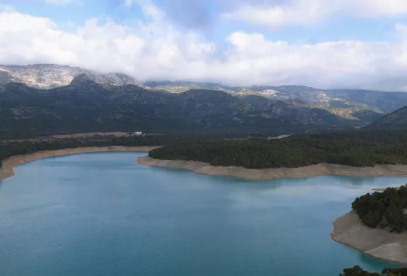
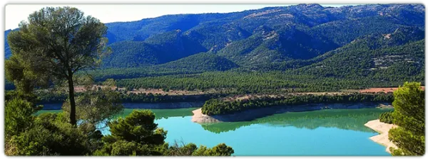
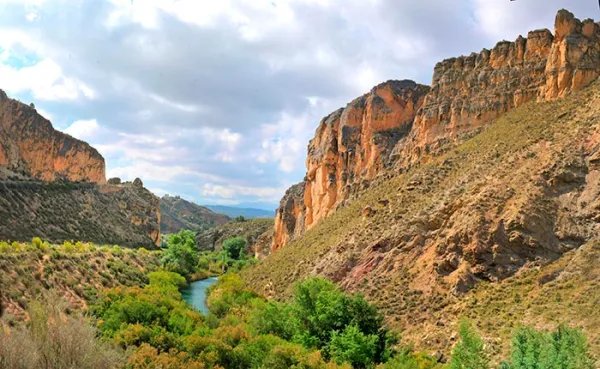
Depending on the level of the reservoir, the cannon is more or less deep. The best point to have a view of it is the same bridge that crosses it. With the safety that gives us its metal railing we can look and see polish trout and barbs in the crystal waters that the Guadalanimín River carries at its entrance to La Bolera.
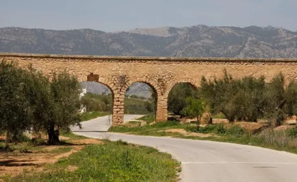
This bridge was built when, in the sixty of the last century, the repressive waters buried the Molinillo Bridge, which passed through the Guadalanimin a little below, and which allowed, from time immemorial, the access of reels to a road that unites the inhabitants of the scattered cores in the upper part of the Sierra (Nava de San Pedro, Puntal de Ana María, la Loma de la Sarga, Vadillo de Castril, etc.) with El Almicarán and Pozo Alcón. Much of the wheat that was sown in that mountainous area became a flour mill that was at the confluence of the Guazalamanco River with the Guadalanimin, very close to the said bridge, and that gave name to the site.
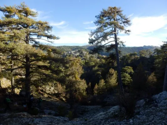
This historic road, which progress was responsible for truncating more than forty years ago, is already collected in the medieval chronicles. It was also the way to the Mesta, where the cattle of Pozo Alcón and Castril were led to the winter of Sierra Morena, with a softer and more prone climate for sheep and cows. The journey that communicates the reservoir with the Vado de las Carretas, near the Nava de San Pedro is via pecuaria and, officially, receives the illustrative name "Cordel de Visas Pintoresca." The first stretch of this journey, which passes through the cortijo de los Tontos, forest house of the Puntal de Ana María and cortijo del Raso del Peral (the highest point of the road at about 1,320 m of altitude) is known as Cañada del Mesto, and is a pleasant walk (about 8 km away and back from where we have left the vehicle) that will surprise us by the natural viewpoints we find on the route (Cortijo de los Tontos, Puntal de Ana María and the Poyo del Raso) and the views that give us. If we continue about 5 K. further forward we find the Vado de las Carretas and the Cerradas del Guadalentín and Canaliega.
We suggest...
- That before we take the road on foot that leads us to the Cerrada de la Herradura, in the vicinity of the Molinillo Forest House, we lie, with the maximum of precautions, to the edges of the cut that give view to the reservoir and to the final stretch of the Guazalamanco River, before we connect with the Guadalmin. If the level of the reservoir is low we can see the old Molinillo bridge and what's left of the small old flour factory. In that case, a recommended option is that, through a sidewalk that leaves east of the forest house, just in front of the large bridge, we go down to the river bank and approach the mill. There are still remains of the old systems used for the milling of wheat.
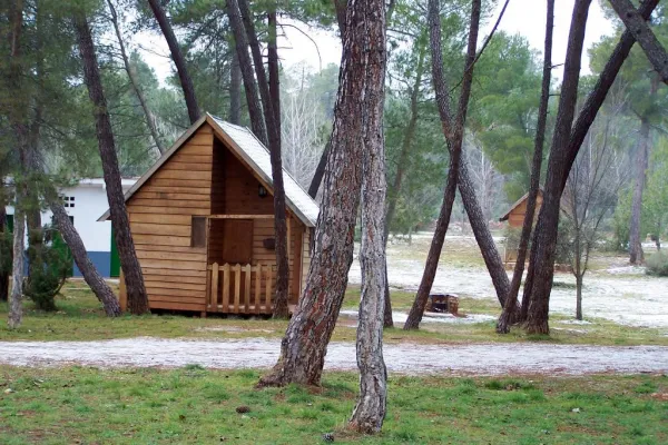
The Cerrada de la Herradura is located in the tail of the Bolera reservoir and is accessed by the Dehesa del Rincón, a large entrelano located on the right bank of that reservoir. From Pozo Alcón you have to take the A-326, up the Avenida de la Bolera, direction to Castril. By passing the campsite de la Bolera and the km 7, we take a detour that comes to our left and that borders the Forest House of la Bolera (it indicates to the Hornico). On an unasphalted road, always following the main road, you reach the Molinillo Forest House, now apricot of cattle, 7.7 Km. later. There we left the vehicle and followed the path of the route that indicates the Road Vado. About 800 meters later a narrow bridge crosses a riverbed. We meet at the Herradura Clock. If we continue the road, until it begins to descend again, 3.5 Km. later, we will make the journey known as Cañada del Mesto.
Is part of