

Route de las Alturas
Datos de la ruta
ROUTE NAME
Ruta de las Alturas
TRAIL TYPE
--
DIFFICULTY
Alta
TOTAL DISTANCE (IN KILOMETERS) 30 km
-
Stretch of asphalt or concrete:
-
Section of track, forest road, or dry watercourse:
-
Trail section:
-
Sections of livestock trails:
HUSO 30S
ESTIMATED TRAVEL TIME
4 h
ROAD SURFACE TYPE
ELEVATION CHANGE
835mm
835mm
DIFFICULTY. RATING ACCORDING TO THE MIDE METHOD
--
MEANS
Severity of the natural environment
--
ITINERARY
Route guidance
--
DISPLACEMENT
Difficulty moving about
--
EFFORT
Amount of effort required
ACCESSIBILITY TYPE
TIME OF YEAR
All year round
SIGNALING
No
MORE INFORMATION
TUNNELS
STEEL VIADUCTS
METAL WALKWAYS
WATER POINTS
PONTOONS
GUARD BOOTHS AND BARRIERS
SWITCHMAN'S CABINS
CYCLABILITY
RECREATIONAL OR SPORTS AREAS NEAR THE TRAIL
AID STATIONS
LINKS TO OTHER TRAILS
SHELTERS
RECOMMENDATIONS
Although the route is mainly on good roads, a good physical form is required to deal with the four hills. The less prepared must take it very slowly and take the rest to enjoy the landscape. The possibility of going down to the ravine of the Tejos adds difficulty and degrade to the journey, each one will decide according to their strength. It is important to reclose the cancels once they are open to pass through; their mission is to control the passage of the cattle.
OTHER INFORMATION OF INTEREST (ARCHITECTURAL OR HISTORICAL-CULTURAL, GEOLOGICAL-ECOLOGICAL)
Technical Description
Departing from Valdepeñas in the direction of Jaén starts (km 2), shortly after the gas station, an asphalt lane that rises with strong reels in its final stretch, to the port of the Coberteras (km 7.5). The explanade separates the challenging hills from the La Pandera saw from the Ventilquer summits. The asphalt ends at this point. The route now follows a gravel road that is slowly losing height by the blemish of the Ventilator covered with a dense tree vegetation. In the port Pitillos (km. 3.6) and just to strangle a barrier that prevents the passage to the motor vehicles, a long rise between lush pinears begins to the right.
As you gain height, the panoramas are being deployed, first on the quiet waters of the Quebrajano reservoir, and immediately as you change your side on the ravine of the river that feeds you and the deep cuts of the Alcabuces saw. After a mold of wires, the lane that descends to the Navalayegua ravine is left to the left, where an unusual tidal bosquet is located. The most difficult sections of the route that will almost certainly force you to stand on the ground by both the slope and the stones, end up coronating another hill. Very close, there is a semi-abandoned cortijo surrounded by beautiful and long specimens of oak. It only remains to overcome the last rise that will culminate in the port of Navalayegua (km. 21.9).
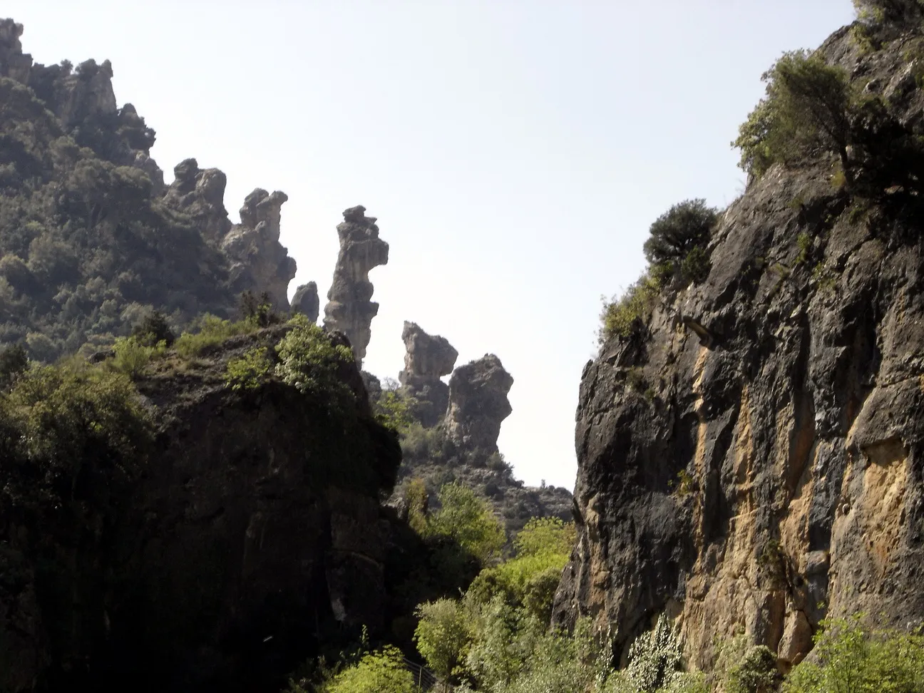
On the hill the descent begins through the ravine of the Vadillo stream, which dies in the same town. The Ventilquer saw is a strong calcareous massif, on its arrogant slopes an almost wild vegetation survives extraordinarily pure. The oaks and complaints dominate the arboreal stratum and the accompanying shrubs sometimes become very dense. On its southern side, semi-hidden in the narrow of a ravine, there is a community of old tides, true relic of the past. The purely serrana route draws the essence of these rough landscapes.