

Al-Manzur Via Ferrata in the Serrezuela de Bedmar

Description
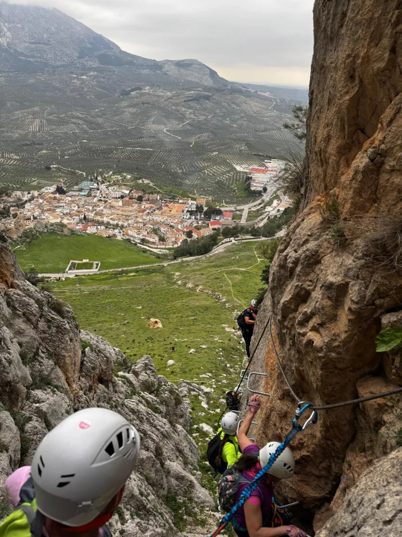
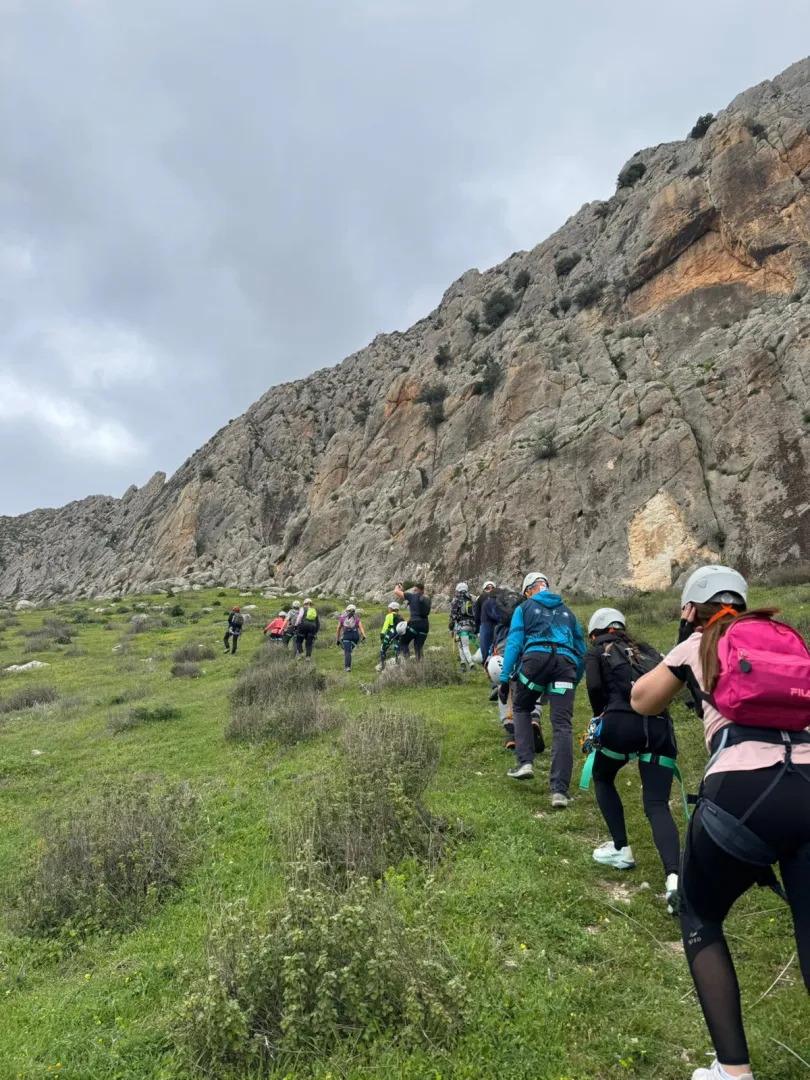
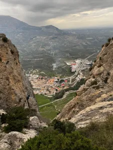
The Al-Manzur Via Ferrata is located in the Serrezuela de Bedmar, at the foot of the Castillo Nuevo, with wide views over the Cuadros river valley and its sea of olive trees. It is a modern facility, opened in September 2025, designed as an active tourism resource to diversify the sporting offer of the region.
It is a very complete route combining vertical sections, an equipped ridge, a more demanding cable-bridge sector (K4) and a final 65-metre zip line. The via ferrata maintains a medium difficulty (K3) along most of the route, with occasional more physical sections and the odd overhang that add intensity and continuity.
Its west-facing orientation and the calm surroundings make it an appealing alternative to other, busier via ferratas in Andalusia.
Is part of

Datos de la ruta
ROUTE NAME
--
TRAIL TYPE
--
DIFFICULTY
Medium
TOTAL DISTANCE (IN KILOMETERS) --
-
Stretch of asphalt or concrete: --
-
Section of track, forest road, or dry watercourse: --
-
Trail section: --
-
Sections of livestock trails: --
HUSO 30S
ESTIMATED TRAVEL TIME
4h
ROAD SURFACE TYPE
--
--
DIFFICULTY. RATING ACCORDING TO THE MIDE METHOD
--
MEANS
Severity of the natural environment
--
ITINERARY
Route guidance
--
DISPLACEMENT
Difficulty moving about
--
EFFORT
Amount of effort required
ACCESSIBILITY TYPE
TIME OF YEAR
SIGNALING
No
MORE INFORMATION
TUNNELS
STEEL VIADUCTS
METAL WALKWAYS
WATER POINTS
PONTOONS
GUARD BOOTHS AND BARRIERS
SWITCHMAN'S CABINS
CYCLABILITY
RECREATIONAL OR SPORTS AREAS NEAR THE TRAIL
AID STATIONS
LINKS TO OTHER TRAILS
SHELTERS
RECOMMENDATIONS
It is essential to use approved via ferrata-specific equipment (harness, helmet and energy absorber/lanyard).
If you do not have the necessary experience and knowledge, it is recommended to hire a certified, qualified guide.
It is advisable to check the weather forecast before the activity and to carry enough water. Although there is an alternative route to avoid getting wet when water flow is high, it doesn't hurt to leave a change of clothes in the vehicle.
OTHER INFORMATION OF INTEREST (ARCHITECTURAL OR HISTORICAL-CULTURAL, GEOLOGICAL-ECOLOGICAL)
Technical Description
The route alternates vertical rock face with an exposed ridge that offers a commanding view over the valley from a privileged position. After the initial stretches of continuous progression, the cable-bridge sector (K4) is reached, more physical and demanding, where balance and arm management are key.
The route culminates with a 65-metre zip line, adding a dynamic and spectacular element before the descent.
