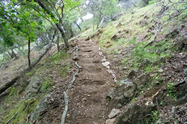
Trail Río de la Campana
Description
This comfortable tour along the banks of the Campana River will allow us to meet one of the historic reference places of Sierra Morena in the vicinity of Despeñacolos and its Natural Park. The Aliseda, in fact, attracts from ancient times the attention of naturalists and therapists for the attractiveness of its landscapes and the quality of the waters of its springs, which were used by a spa of romantic air. Now the place is preserved in its natural purity, opening to the enjoyment of the many people who take advantage of their public facilities.
Datos de la ruta
ROUTE NAME
Sendero Río de la Campana
TRAIL TYPE
Linear
DIFFICULTY
Baja
TOTAL DISTANCE (IN KILOMETERS) --
-
Stretch of asphalt or concrete: --
-
Section of track, forest road, or dry watercourse: --
-
Trail section: --
-
Sections of livestock trails: --
HUSO 30S
ESTIMATED TRAVEL TIME
16 min
ROAD SURFACE TYPE
Lane or trail.
ELEVATION CHANGE
14mm
14mm
DIFFICULTY. RATING ACCORDING TO THE MIDE METHOD
2
MEANS
Severity of the natural environment
1
ITINERARY
Route guidance
2
DISPLACEMENT
Difficulty moving about
1
EFFORT
Amount of effort required
ACCESSIBILITY TYPE
On foot
TIME OF YEAR
All year round
SIGNALING
No
MORE INFORMATION
TUNNELS
STEEL VIADUCTS
METAL WALKWAYS
WATER POINTS
PONTOONS
GUARD BOOTHS AND BARRIERS
SWITCHMAN'S CABINS
CYCLABILITY
RECREATIONAL OR SPORTS AREAS NEAR THE TRAIL
AID STATIONS
LINKS TO OTHER TRAILS
SHELTERS
RECOMMENDATIONS
It is recommended to wear safe drinking water and clothing and adequate footwear. Ensure the potability of the water from the sources. Be careful with the traffic. This path can be realized throughout the year. In summer, due to the special conditions of height, the insolation is very strong and requires important solar protection.
OTHER INFORMATION OF INTEREST (ARCHITECTURAL OR HISTORICAL-CULTURAL, GEOLOGICAL-ECOLOGICAL)
- Medicinal water spring in La Aliseda.
- Ruined spa of the early 20th century.
- River of the Bell.
- The Iberian Lince Breeding Center "La Olivilla."
- Recreation areas
Technical Description
The path has its start and end in the popular recreational area La Aliseda (see on the map), which is accessed by the JA-7,100 road that runs between St. Helena and a point of the E-05 motorway near La Carolina. At the kilometer 4.3 of that road, a track goes down to the Campana River, which leads us to La Aliseda in just over three hundred meters. Next to the road we will have repaired in the ruins of a spa of the early 20th century that used the ferruginous waters of a spring known from ancient for its medicinal properties.
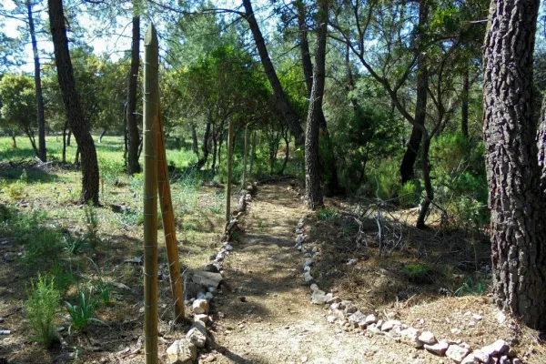
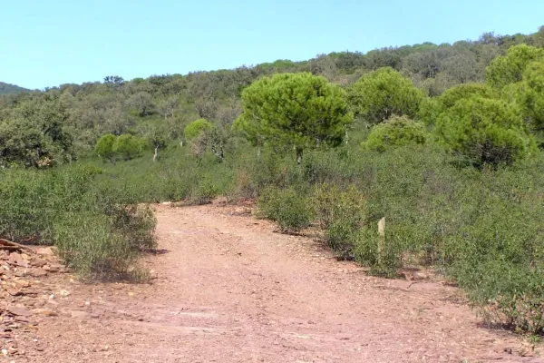
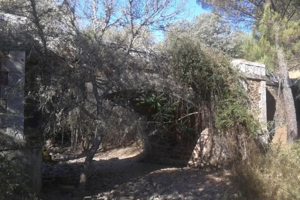
We are located in the public mountain La Aliseda, where is the La Olivilla Iberian Lince breeding center, integrated in the strategy put in place by the public administrations to recover this species in grave danger of extinction. We leave the recreational area, one of the most crowded in the province, by the stone bridge in front of the parking lot. We will see the river of the repressive Bell and chestnuts, strawberries and alms among other trees. Just out of this wooded area, some clues come out. We'll take the left one that goes parallel to the river at a certain distance from it. From it we will see the forest in a gallery that extends along the bank and, on our right, a pine of repopulation.
A few hundred meters later we arrived at a crossroads in which, on our right, the old road from La Aliseda to St. Helena converge. We continue to face, in a north direction, parallel to the river. In a few hundred more meters we reach a plain with pine trees, characterized by its large round and cedar cups, and very close to the road that access La Aliseda. If we get close to the bridge, we can see a very impressive strawberry on the same shore. Here we will make a 180-degree turn in our direction, entering the riverbank forest and returning to the recreational area in a south direction, the same as the waters of the river.
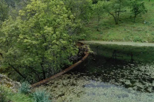
The five hundred meters back will be done by the sidewalk that goes by the river, under a lush mass of trees. The Campana River runs ten kilometres downstream in the Grande River, not far from La Carolina. This, in turn, feeds the Rumblar reservoir, in the vicinity of Baños de Encina, which was built in the forty years of last century for the creation of an important regable area.
The bank is a space that is transformed according to the seasons. The trees, benefiting from greater moisture, are of a caduca leaf, varying their volumes and colors at each moment, while the flow rates, which are the same as the Mediterranean climate. In the autumn, under the symphony of colors that create the decadent leaves, mushrooms and mushrooms proliferate on the ground and in fallen trunks. We will go through a pine tree, which will give way to a sketch of alyses, pizzas, skirmishes... until again we arrive at La Aliseda, ending the path here.