Trail Molino del Batán
Description
If we accept the proposal that we are made with this path, we will discover agricultural sites and representative landscapes of Despeñacolos, where the pulse of nature - flora, fauna, hydrography, geology... - still beats with strength, and human work is perceived as a historical challenge in pursuit of coexistence rather than domination.
Datos de la ruta
ROUTE NAME
Sendero Molino del Batán
TRAIL TYPE
Linear
DIFFICULTY
Baja
TOTAL DISTANCE (IN KILOMETERS) 20,7 km
-
Stretch of asphalt or concrete: --
-
Section of track, forest road, or dry watercourse: --
-
Trail section: --
-
Sections of livestock trails: --
HUSO 30S
ESTIMATED TRAVEL TIME
2 h 50 min
ROAD SURFACE TYPE
Track, lane or trail.
ELEVATION CHANGE
980mm
980mm
DIFFICULTY. RATING ACCORDING TO THE MIDE METHOD
1
MEANS
Severity of the natural environment
2
ITINERARY
Route guidance
2
DISPLACEMENT
Difficulty moving about
2
EFFORT
Amount of effort required
ACCESSIBILITY TYPE
On foot
TIME OF YEAR
All year round
SIGNALING
No
MORE INFORMATION
TUNNELS
STEEL VIADUCTS
METAL WALKWAYS
WATER POINTS
PONTOONS
GUARD BOOTHS AND BARRIERS
SWITCHMAN'S CABINS
CYCLABILITY
RECREATIONAL OR SPORTS AREAS NEAR THE TRAIL
AID STATIONS
LINKS TO OTHER TRAILS
SHELTERS
RECOMMENDATIONS
It is recommended to wear safe drinking water and clothing and adequate footwear. Ensure the potability of the water from the sources. Be careful with the traffic. This path can be realized throughout the year. In summer, due to the special conditions of height, the insolation is very strong and requires important solar protection.
OTHER INFORMATION OF INTEREST (ARCHITECTURAL OR HISTORICAL-CULTURAL, GEOLOGICAL-ECOLOGICAL)
- Remains of mills and hydraulic batans of medieval origin.
- Miranda del Rey village.
- Las Nogueras School of Nature.
- Barrio of the Batan stream.
Technical Description
We will find traces of industrial facilities (batans or mills), of medieval origin, moved by the force of the running waters, a type of renewable energy that in the past was of the few available, and which is now revalued.
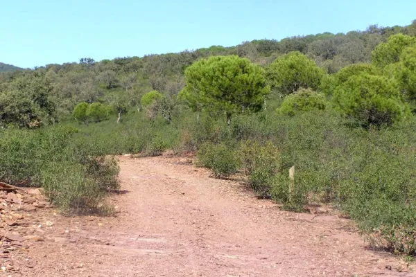
Continuing about a hundred and fifty meters along the JA-7.102 road, which has taken us to Miranda del Rey from the E-05 highway, we will find a road crossing that is where we start our path (see on the map). Here we will choose the track to the front, to the west, and we will walk without complications through a plain.
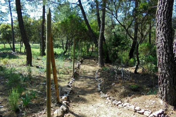
After six hundred meters we will cross the river of the Bañas, which is very close to that of the Noguera to form the Campana River. We will approach that second stream and walk on its left bank about seven hundred meters, northwest direction, until we reach the cortijo de la Noguera, which today became a school of nature. In four hundred meters we reach a hill in which there are two firewalls that serve as the limit of the Natural Park, where there is a barrier that we will have to cross while maintaining our course. The track is flanked by eucalyptus, which will later be replaced by pine trees, also of repopulation. The oak and other indigenous plants grow under these artificially introduced masses, as they are prepared to a particular reconquest. The road makes a uve to cross the stream of the Noguera, which we used to accompany, after which you reach a port with some cornoques around. From here, views are opened to the ravine of the Batan stream, to which we address, and the paths ahead of us can therefore be seen. We walk, in plural, because first we will go down the oblique slope to our right, next to the acequia of the Padilla Jump, until its derivation. The stream is covered by a riverside forest in which there are plenty of strawberries and alles that invite us to stop to enjoy its rich and ambient placid nature, from which is part a water birth with a curious anti-linear (convex folding) crowning it.
Between jaras and rosemos we will take the nine hundred meters to the crossing of the port, from where we will go back down, but now on the main road that is left, in a southwest direction. We are open to good views of the Calderon saw and the Star hill, to the north; and to the west the valley that forms the Dona Dama ravine and the Rope of the Stairs.
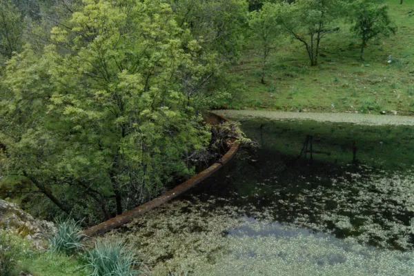
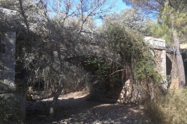
Our way, after crossing the waterfall again, runs in parallel to the stream, in which we can see the ruins of ancient mills, including the one that gives name to the path, the Batan Mill and another more flour built at the same time. In a little more than a kilometer of road, we will reach a sharp curve, after which we arrived at the bottom of the ravine where there is a water storage for the fire vehicles and a source, being this the end of the path.