The Guadalentín Route, path of the carreros and recoveros
Description
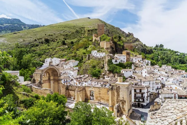
Municipal terms of Cazorla and Pozo Alcón. Natural park Sierras de Cazorla, Segura y las Villas, Jaén.
Datos de la ruta
ROUTE NAME
La ruta del Guadalentín, camino de carreros y recoveros
TRAIL TYPE
--
DIFFICULTY
--
TOTAL DISTANCE (IN KILOMETERS) --
-
Stretch of asphalt or concrete: --
-
Section of track, forest road, or dry watercourse: --
-
Trail section: --
-
Sections of livestock trails: --
HUSO 30S
ESTIMATED TRAVEL TIME
ROAD SURFACE TYPE
--
--
DIFFICULTY. RATING ACCORDING TO THE MIDE METHOD
--
MEANS
Severity of the natural environment
--
ITINERARY
Route guidance
--
DISPLACEMENT
Difficulty moving about
--
EFFORT
Amount of effort required
ACCESSIBILITY TYPE
TIME OF YEAR
All year round
SIGNALING
No
MORE INFORMATION
TUNNELS
STEEL VIADUCTS
METAL WALKWAYS
WATER POINTS
PONTOONS
GUARD BOOTHS AND BARRIERS
SWITCHMAN'S CABINS
CYCLABILITY
RECREATIONAL OR SPORTS AREAS NEAR THE TRAIL
AID STATIONS
LINKS TO OTHER TRAILS
SHELTERS
RECOMMENDATIONS
OTHER INFORMATION OF INTEREST (ARCHITECTURAL OR HISTORICAL-CULTURAL, GEOLOGICAL-ECOLOGICAL)
Technical Description
The mountain house where the main action is developed mixed route (car-hiking / BTT-car).
The central section, where the main action of the film was recorded, is restricted to the road traffic, only accessible for Senderists and cyclists btt. In this case, the track tour of this section is facilitated, knowing that it can be connected to the initial and final sections by car. If applicable, at the end, transfer is required up to Carawayor the return to the point of origin.
This route is linked to the southern area of the natural park and constitutes the traditional transit area, of carriage of goods by car from the altiplano of Granada to the Sierra de Segura and Albacete, in the direction of the Campos de Hernán Perea and to the deepest area of the Sierra de Segura (Santiago de la Sword, Segura River Valley, Pontons, Zumeta Valley...).
It is the traditional marketing area, and of walking and horseshoe trips through these mountains, between the neighbouring regions of the Spanish Levante, the head of the Guadalquivir Valley, the Granada Altiplano and Sierra Nevada. In fact the last maquis resisted in this area until 1956, when the last game of guerrillas who walked through these solages since the end of the Civil War was finished.
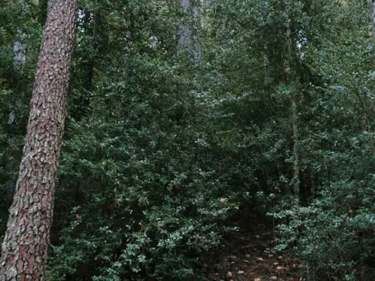
These roads were splashed with cortijos, fountains, resiegos, and pegeras, which almost worked with rest stations and avtuallation of the travelers who moved in blood through these places for centuries. On these roads there is a lot of memory and a lot of tangible and intangible heritage that fills these landscapes with meanings and that tell us the lives of those who walked and lived there.
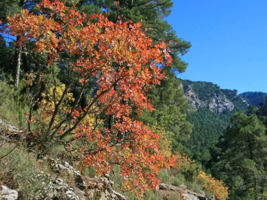
Fishermen's area, clean rivers, orchards and mountain fruit, wood use, isolated life in corjadas, forest nurseries, pineapple sequeros, hunting and legends such as those of the bad woman or the Pine de la Posá, always linked to traditional mountain rural communities.
Much of the tour, from the area of the San Pedro Navy, the entire section of hiking/btt and even El Hornico, coincides with the GR247 Southern forests, steps 13 and 14 and alternative 3.