Route siles-Villarrodrigo
Description
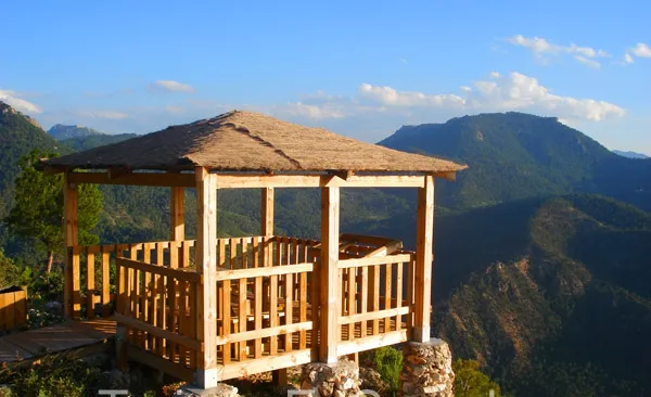
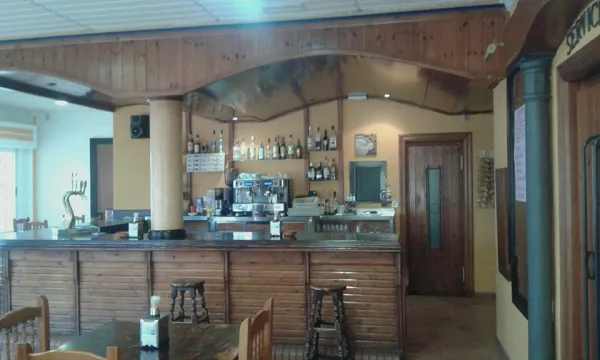
La Peña del Olivar is a good place for leisure and rest, and from here several hiking routes start.
Is part of

Datos de la ruta
ROUTE NAME
Ruta siles-Villarrodrigo
TRAIL TYPE
Trail
DIFFICULTY
Media
TOTAL DISTANCE (IN KILOMETERS) 26,4 km
-
Stretch of asphalt or concrete: --
-
Section of track, forest road, or dry watercourse: --
-
Trail section: --
-
Sections of livestock trails: --
HUSO 30S
ESTIMATED TRAVEL TIME
7 h 30 min
ROAD SURFACE TYPE
Trail
ELEVATION CHANGE
1350mm
--
DIFFICULTY. RATING ACCORDING TO THE MIDE METHOD
--
MEANS
Severity of the natural environment
--
ITINERARY
Route guidance
--
DISPLACEMENT
Difficulty moving about
--
EFFORT
Amount of effort required
ACCESSIBILITY TYPE
TIME OF YEAR
All year round
SIGNALING
No
MORE INFORMATION
TUNNELS
STEEL VIADUCTS
METAL WALKWAYS
WATER POINTS
PONTOONS
GUARD BOOTHS AND BARRIERS
SWITCHMAN'S CABINS
CYCLABILITY
RECREATIONAL OR SPORTS AREAS NEAR THE TRAIL
AID STATIONS
LINKS TO OTHER TRAILS
SHELTERS
RECOMMENDATIONS
OTHER INFORMATION OF INTEREST (ARCHITECTURAL OR HISTORICAL-CULTURAL, GEOLOGICAL-ECOLOGICAL)
Technical Description
This one that we take care of, runs along the dirt track that leaves to the right of the ceramic panel and, little by little, is gaining height until we reach the Fountain of the Sabina or the Noguerón; from here, we will continue along this same track until we reach a firewall, where we will see the arrow that marks a detour and the path by which we must continue.
This zigzaguea path between pines and madroños, gently ascending until we link to the middle track, we will turn a few meters to the left and when we get back to the firewall we will see on a stone wall the continuation of this path. This stretch, with a similar route to the previous one, will take us to the top track, again by the firewall, where we will have a rewarding view of the Puntal.
On this track we will walk about 100 meters and see a stone that marks the continuation of the path, already softer, until we reach a mold where we can rest. If we move along the track a few meters we will see a splendid view of the Morles River Valley, the village of La Hueta and the hill of Peñalta.
Then our path will come down gently, until we reach the sign that indicates the ascension to the Hole Stone. If we decide to go up to it, we will have to take certain precautions, as the path is narrow and may be dangerous.
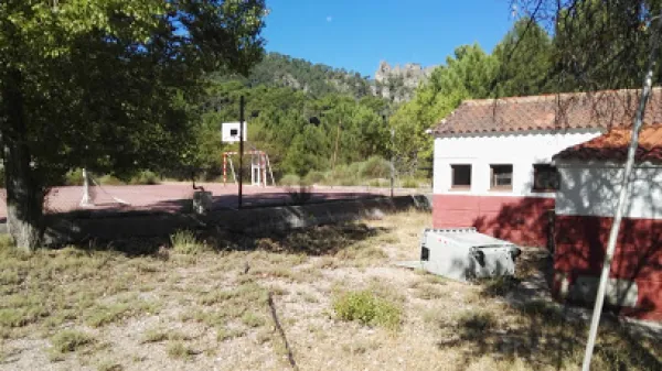
We will continue to descend until we reach the Fresnedilla and then we will walk along sections of path and lane alternatively until we reach the old schools of this village. We will cross the road and through a narrow path that runs between rocks and oaks we will get back to the road where we will walk in a banana way until we reach the starting point: the Peña del Olivar.