Scenic Drive Siles - Las Acebeas
Description
This route runs along the narrow mountain road next to Siles in the direction of the high areas of the saw. It is always raised between pineapples and allows access to different recreational areas, looking and very attractive walking routes. It ends in the area of Las Azebeas, where the forest acquires an amazing northern environment.
Is part of

Datos de la ruta
ROUTE NAME
Ruta en coche Siles - Las Acebeas
TRAIL TYPE
Scenic Drive
DIFFICULTY
--
TOTAL DISTANCE (IN KILOMETERS) 14 km (solo ida)
-
Stretch of asphalt or concrete: --
-
Section of track, forest road, or dry watercourse: --
-
Trail section: --
-
Sections of livestock trails: --
HUSO 30S
ESTIMATED TRAVEL TIME
ROAD SURFACE TYPE
Forest track
--
--
DIFFICULTY. RATING ACCORDING TO THE MIDE METHOD
--
MEANS
Severity of the natural environment
--
ITINERARY
Route guidance
--
DISPLACEMENT
Difficulty moving about
--
EFFORT
Amount of effort required
ACCESSIBILITY TYPE
By car, on foot
TIME OF YEAR
All year round
SIGNALING
No
MORE INFORMATION
TUNNELS
STEEL VIADUCTS
METAL WALKWAYS
WATER POINTS
PONTOONS
GUARD BOOTHS AND BARRIERS
SWITCHMAN'S CABINS
CYCLABILITY
RECREATIONAL OR SPORTS AREAS NEAR THE TRAIL
AID STATIONS
LINKS TO OTHER TRAILS
SHELTERS
RECOMMENDATIONS
OTHER INFORMATION OF INTEREST (ARCHITECTURAL OR HISTORICAL-CULTURAL, GEOLOGICAL-ECOLOGICAL)
Technical Description
We suggest the following possibilities:
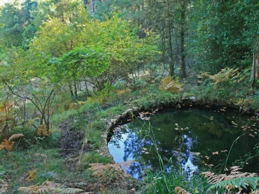
Km 2.Peña del Olivar Recreative Area. It has an unusual Botanical Collection with natural park species and a natural pool. It is also the starting point for various walks.
Km 2.2.Start to the left of the road to the Fountain Recreative Area of the Almoteja. You can go by car, but we recommend to enjoy on foot this walk 1.5 km next to the river vegetation of the Arroyo del Barranco de los Tejos. The recreational area has a fountain where we can see the catacamosque (Pinguicola vallisneriifolia), small carnivora plant endemic to the Park. There begins a signposted path of 1 '5 km.
Km 5.2. The site of La Fresnedilla, with small scattered cortijos, where we can walk two signposted paths.
Km 6.3.Start to the right of the La Canalica forest track. We recommend that you drive through it, as we can walk through several signposted trails and approach the well of the Snow, sturdy and hidden stone construction where the snow was previously stored for use during the summer. Next to him is a source.
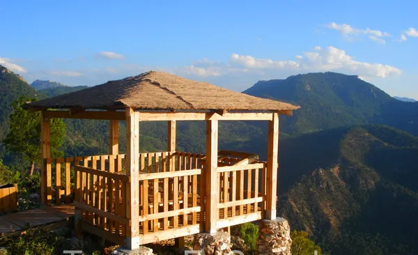
Km 7.3.Mirador de La Fresneilla, with beautiful views.
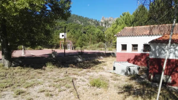
Km 7.8.Free Time Siles residence. It is in a very careful environment from which comes a wide road that allows very pleasant walks. It ends, after almost 6 km, on the forest track that leaves Siles towards the Puntal de la Ajedrea.
Km 10.4.Start to the left of a long forest track that crosses private farms and runs, in its last sections, by the Tu River.
Km 11.Start to the right of the same forest track we saw in the km 6.3, which makes loop with the road. From here is closer the Snow well. From here we enter the Reserve Area of Acebeas- Nava del Espino, an area especially protected by its high ecological value. We can see that at this point the forest becomes greener and greener.
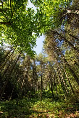
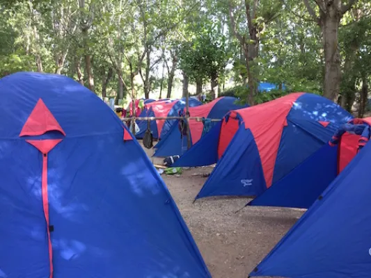
Km 11.6.Area of Azebeas Controlled Squad. Magnificent place under large larity pines where you can rest when you are not occupied by some camp.
Km 12.5.Place of Las Abeas. On the left a delicious walk to an old forest house starts. This place, with its hazelnuts and its large hives in the shadow of the larice pines, is one of the most emblematic of the Natural Park. In less than an hour you can climb an exceptional path from the forest house to the Calar de Navalperal, from where you enjoy great views.
Km 14.1.Cross with the JF-7016 road. Here our route ends, although it is a very strategic place to start many others. You will see abundant signs that indicate different possibilities, such as Segura de la Sierra, Río Madera or Pontones.