Route Ornitológica Sierra de Cazorla
Description
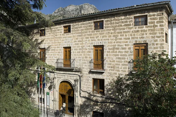
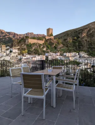
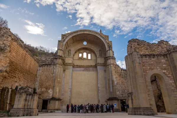
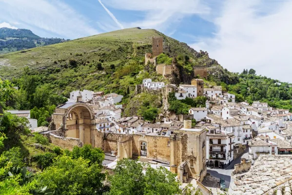
It begins in Cazorla, a village of a unique beauty catalogued as an artistic historical ensemble that is also the head of the Sierra de Cazorla region. We take direction to the Natural Park on the A-319 road, through the village of La Iruela and Burunchel, just before entering its limits, we continue on the winding mountain road, ascending to reach the Port of the Palomas and the Paso del Aire, at this point we can take advantage to make the first stop contemplating the difference of landscape between the slope facing the Guadalquivir Valley and the direction to the agricultural countryside covered by the olive mantle that covers these lands.
Datos de la ruta
ROUTE NAME
Ruta Ornitológica Sierra de Cazorla
TRAIL TYPE
Circular
DIFFICULTY
Baja
TOTAL DISTANCE (IN KILOMETERS) --
-
Stretch of asphalt or concrete: --
-
Section of track, forest road, or dry watercourse: --
-
Trail section: --
-
Sections of livestock trails: --
HUSO 30S
30S x = 499807 and = 4196200
ESTIMATED TRAVEL TIME
ROAD SURFACE TYPE
Forest track
--
--
DIFFICULTY. RATING ACCORDING TO THE MIDE METHOD
--
MEANS
Severity of the natural environment
--
ITINERARY
Route guidance
--
DISPLACEMENT
Difficulty moving about
--
EFFORT
Amount of effort required
ACCESSIBILITY TYPE
TIME OF YEAR
All year round
SIGNALING
No
MORE INFORMATION
TUNNELS
STEEL VIADUCTS
METAL WALKWAYS
WATER POINTS
PONTOONS
GUARD BOOTHS AND BARRIERS
SWITCHMAN'S CABINS
CYCLABILITY
RECREATIONAL OR SPORTS AREAS NEAR THE TRAIL
AID STATIONS
LINKS TO OTHER TRAILS
SHELTERS
RECOMMENDATIONS
OTHER INFORMATION OF INTEREST (ARCHITECTURAL OR HISTORICAL-CULTURAL, GEOLOGICAL-ECOLOGICAL)
Technical Description
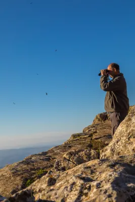
From here, with a little patience and luck, we can take advantage of the nearby feeding station for scavenging birds to enjoy the majestic flight of the griffon vulture, the most numerous of our large birds of prey. It may delight us by gliding just a few metres above the treetops of the surrounding pine forest. Other birds of prey can also be observed from here, including common buzzards and booted eagles.
From here, we continue along the same road until reaching Empalme del Valle, the point where this route connects with the main route when starting from the village of Arroyo Frío. We then turn right towards Vadillo-Castril. At this former timber settlement on the banks of the Guadalquivir River, we can make a second stop. Either by walking along the riverbanks through the village or by spending a little more time completing the circular Cerrada del Utrero trail on foot, which is also of ornithological interest, we can observe a wide variety of riverside bird species. These include the white-throated dipper, a reliable indicator of good water quality; the grey wagtail, moving among the rocks emerging from the water; Cetti’s warblers; and, in spring, the colourful golden oriole, among others.
Continuing onwards, after crossing the Iron Bridge beside the Cerrada del Utrero trail, we reach a fork where we turn left and climb towards Las Navas. We leave behind the Lanchales de Linarejos, a beautiful karst landscape where, with a little patience, it is possible to observe the agile Iberian ibex. By remaining quiet and carefully examining the trunks of the surrounding trees, we may also see several small but beautiful woodland bird species, such as Eurasian nuthatches, short-toed treecreepers, coal tits and long-tailed tits. We continue to the Los Collados forest house, where the unpaved forest track begins. This track takes us along the Cuesta del Bazar to Nava del Espino.
A little further uphill, on our right, we find the first viewpoint overlooking Los Poyos de la Mesa. Griffon vultures are frequently seen flying here, and with luck we may also observe golden eagles, booted eagles and short-toed snake eagles. The latter are present during spring and summer, after returning to these mountains from their wintering grounds in Africa.
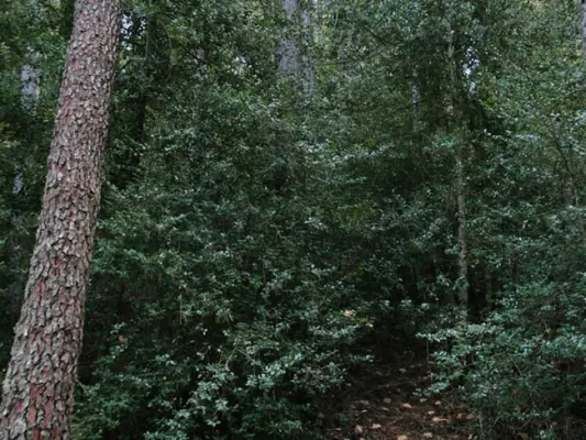
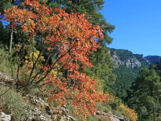
We continue climbing through beautiful forests of maritime pine, holm oak and a number of old Portuguese oaks. The undergrowth consists of rosemary, marjoram, turpentine trees and rockroses. As we ascend the Cuesta del Bazar, the maritime pines gradually give way to majestic European black pines. We are now in the Oro-Mediterranean vegetation zone, where these slender pine trees grow alongside centuries-old Portuguese oaks, hawthorns, barberries and prickly cushion plants.
We have reached the beginning of Nava del Espino, a beautiful high plateau covered with dense European black pine forests and high-mountain grasslands. It is surrounded by striking peaks such as Cabeza del Tejo and Cerro de Pedro Cerrillo, where fallow deer can often be seen running swiftly across the landscape, grazing or resting beneath the shade of a pine tree.
We continue along the forest track, passing the Fuente de la Garganta recreational area, until reaching La Esperilla, where the second viewpoint dedicated to Félix Rodríguez de la Fuente is located. This viewpoint overlooks Nava de San Pedro and Torcales del Lobo. It is well worth spending some time here and using binoculars to scan this magnificent landscape in search of a great spotted woodpecker, green woodpecker or carrion crow hidden among the scrub or the interwoven branches of the replanted poplar groves. Looking towards the sky, it is not unusual to see the silhouette of a golden eagle, peregrine falcon, griffon vulture, raven or one of the bearded vultures released as part of the species reintroduction programme. The Bearded Vulture Captive Breeding Centre is now located beside the former Nava de San Pedro Game Park. This ambitious project is producing successful results, as this threatened species has once again returned to the skies above these mountains.
We continue along the route and, after passing through the cutting, reach a viewpoint overlooking Vado de las Carretas. On days with good visibility, it is possible to see as far as Sierra Nevada National Park. A little further uphill, beside the former farmsteads of Poyo Manquillo, a short path on our left leads to the third viewpoint. It overlooks a beautiful holm oak woodland growing over limestone slabs, as well as the impressive cliffs of Torcales del Lobo and, further away, Cerro de las Cabañas, Puerto Pinillo and Torcal de Linares.
We return to our vehicle and, after travelling approximately two kilometres, reach the fourth viewpoint in the area known as Estrecho de los Perales. Here, beautiful and unusual geological formations surround the crystal-clear waters of the Valdetrillos Stream. Agile mouflons and male Iberian ibex can often be seen climbing the vertical rock walls, while golden eagles, griffon vultures and booted eagles may be observed flying majestically overhead. Flocks of unusual birds with crossed bills may also be seen. These are crossbills, remarkably adapted to feeding in pine forests and using their distinctive bills to extract seeds from pine cones. Another small bird that may be observed here is the citril finch.
We continue along the forest track, passing the former Fuente Acero forest house. One kilometre further on, we reach beautiful and impressive limestone cliffs, dominated by the peaks of Loma del Caballo de Acero, Alto de la Cabrilla and Navalasno. These were the last places where the bearded vulture nested before disappearing from the area in 1986–1987.
Continuing along the forest track and passing Collado de Fuente Bermejo, we arrive at Collado de la Zarca. On our left stands an impressive European black pine more than 300 years old. From here, there are beautiful panoramic views over the Guadalentín Ravine and the Natural Park’s great limestone formations, including Navalasno, Poyos de la Carilarga and La Cabrilla. At the end of the route, we reach the area known as Ramblaseca, the gateway to the renowned Campos de Hernán Perea. This high plateau has sparse vegetation because of the harsh environmental conditions and, above all, the pressure of livestock grazing. An endless variety of small birds can be seen in these open uplands, taking advantage of livestock drinking troughs as sources of water. These include chaffinches, crossbills, mistle thrushes, common rock thrushes and ring ouzels, with the latter two being more frequent in winter. Northern goshawks and Eurasian sparrowhawks may also be seen waiting for an opportunity to catch one of the birds that lowers its guard while drinking.
All that remains is to return along the same route to the Puente de las Herrerías junction. Here, we can either return along the same route used on the outward journey or take the road leading to the source of the Guadalquivir River and then continue to El Chorro. There, we can enjoy views of a griffon vulture colony situated on vertical cliffs of imposing beauty. Griffon vultures, red-billed choughs and crag martins can be observed, as well as Egyptian vultures and Alpine swifts during the breeding season. Please note that this alternative route considerably increases both the duration and distance of the journey, so it is advisable to complete it on a separate day.