GR-247 "Bosques del Sur"
Description
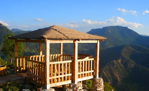
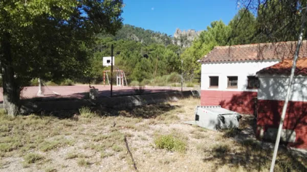
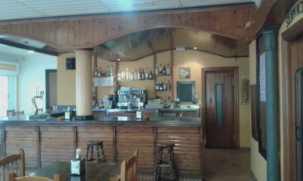
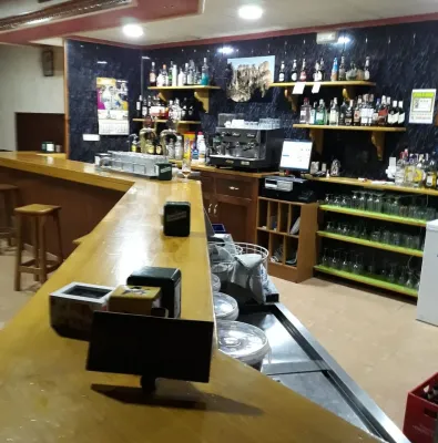
The first stage of the path of a large route Southern Forests begins in the recreational area of Peña del Olivar, located in the Natural Park Sierras de Cazorla, Segura and Las Villas. This area is accessed through the town of Siles, taking the road A-310, in the direction of Las Acebeas; after going about two kilometres we will meet the Peña del Olivar. It is one of the best-equipped public-use equipment of the park with tables, fountain, children's games, bar, terrace, etc., and in summer even with an exceptional natural bathroom area.
Is part of

Datos de la ruta
ROUTE NAME
GR-247 "Bosques del Sur"
TRAIL TYPE
--
DIFFICULTY
--
TOTAL DISTANCE (IN KILOMETERS) --
-
Stretch of asphalt or concrete: --
-
Section of track, forest road, or dry watercourse: --
-
Trail section: --
-
Sections of livestock trails: --
HUSO 30S
30S x = 536524 and = 4249006
ESTIMATED TRAVEL TIME
ROAD SURFACE TYPE
Road
--
--
DIFFICULTY. RATING ACCORDING TO THE MIDE METHOD
--
MEANS
Severity of the natural environment
--
ITINERARY
Route guidance
--
DISPLACEMENT
Difficulty moving about
--
EFFORT
Amount of effort required
ACCESSIBILITY TYPE
TIME OF YEAR
SIGNALING
Sí
MORE INFORMATION
TUNNELS
STEEL VIADUCTS
METAL WALKWAYS
WATER POINTS
PONTOONS
GUARD BOOTHS AND BARRIERS
SWITCHMAN'S CABINS
CYCLABILITY
RECREATIONAL OR SPORTS AREAS NEAR THE TRAIL
AID STATIONS
LINKS TO OTHER TRAILS
SHELTERS
RECOMMENDATIONS
OTHER INFORMATION OF INTEREST (ARCHITECTURAL OR HISTORICAL-CULTURAL, GEOLOGICAL-ECOLOGICAL)
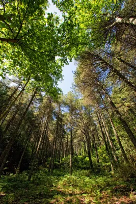
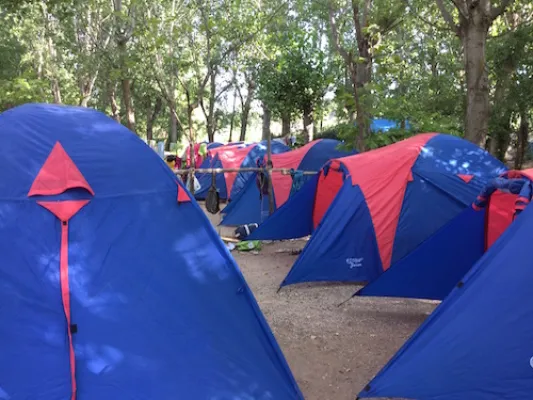
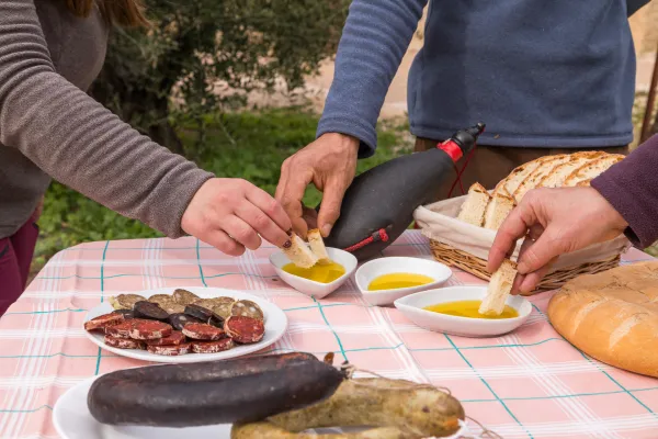
Technical Description
The largest hiking route in Spain's largest natural space. The Southern Forest trail offers 478 kilometres marked, along 21 main stages and 11 derivations. In addition, it has 3 variants, composed of two sections each, that help subdivide the layout, and make a version adapted to our interests and time available. Its journey leads to the births of the rivers Guadalquivir and Segura, entering us by the mosaic of landscapes of this mountain: high mountain peaks, castles, forests, rivers and waterfalls, traditional roads, altiplanicies, villages and villages still inhabited, historical sets, olive groves, gardens. A great way to discover the flight of the broken bones, the cleanest waters, the conversation with the transhuman pastors, the way to live in the mountain villages..., a collection of experiences and the authenticity of the most extensive saws of Andalusia. Most of the stages begin and end in places close to basic services: sources, villages or villages, campsites and other accommodation, camping areas or near roads. Other sections have only emergency shelters without services, built to provide these areas of the GR. Some stages go through very remote places, without telephone coverage, often subject to high mountain conditions that can leave us isolated (snow, wind, and low-zero temperatures in winter, or lack of water and permanent insolation in summer), so we should be informed about the conditions before we start the route; in addition to having enough to awaken. We will never leave the route, we will always follow the rules of use of the GR and the shelters, as well as the instructions of the natural park staff. It respects all the rules of protected space as you walk the path and use its equipment.