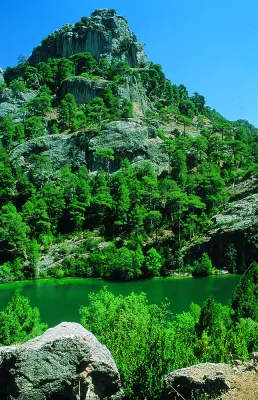
Description
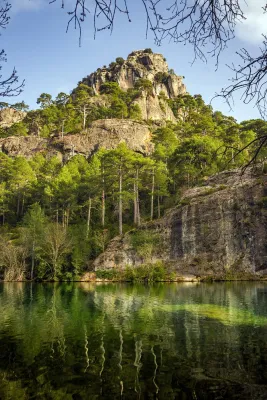
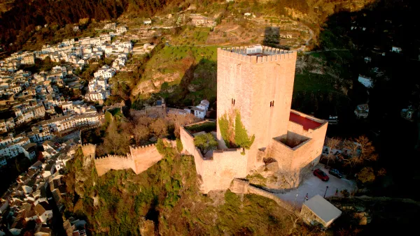
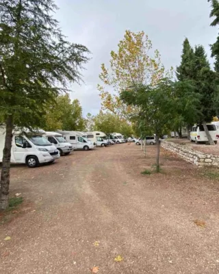
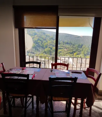
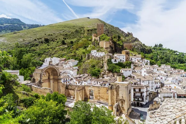
The Port of Tíscar is not only the mountain barrier to be saved to go to the Sanctuary of Our Lady of Tíscar, the historical patron of the advance of Cazorla and now of Quesada, and one of the most emblematic religious symbols of these mountains. It is an agribusiness area, with spectacular views, where it is easy to see the mountain goat, a corner full of history and nature. Leaving the vehicle in the parking areas in the same port, taking a small walk we arrive to a medieval watchtower, the Atalaya del Infante Don Enrique (14th century), an excellent lookout, with views to which for nothing in the world we must give up if we are there.
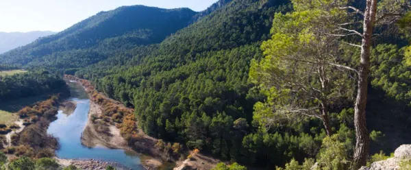
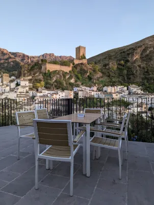
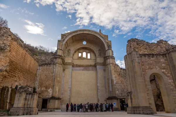
From the watchtower we will be able to contemplate a panoramic that will help us to know the environment better. Looking south a large ravine, which is named after the port, communicates the hill with the stepparian Valle del Guadiana Menor. The ravine is narrowed at the end in a rocky portico, which served for the Arabs to build the fortin of the Castle of Peña Negra. Once the Muslims were expelled, the new occupants raised the Tícar Sanctuary over the walls of the fortress. Looking to the west, the Peña de las Carboneras, one of the summits of the smallest and colecte orographic unit of the mountain massif, stands at the front: the Quesada saw, which houses numerous rock paintings of the Levine art, considered by UNESCO as the World Heritage Site.
To the north our view is lost in the olive sea of the Jiennense countryside, which as waves in a time, is aggressive in the slopes of the Cazorla saw, whose alignment is clear to the right of the olive tree. As we look east, our view inevitably stops at the Rayal Picon (1,834 m of altitude), the first important elevation of the Sierra de Cazorla from the south and impressive limestone mole that has a vertical cut on its north face. The name Rayal was synonymous with the border in the Middle Ages and the torreon in which we are located reminds us that this space was a border with the Nazareth Kingdom of Granada for almost three centuries.
We suggest...
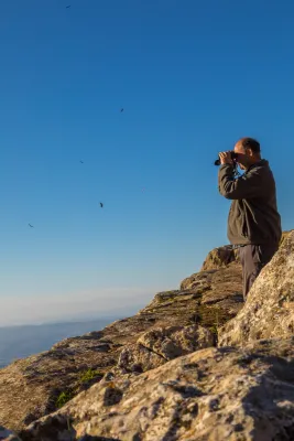
- It is recommended to carry binoculars and to track with them the limestone crestons that are seen, above all, in the northern half of the area, because it is quite easy to observe the montane goat. It is also a good point to see rapacious birds in flight.
- Right in the same port is the Fuente de las Carboneras, a good place to refresh us. If the pipe was dry, the usual circumstance in the summer, following the lane that leaves from the same source, we arrive at the Forest House of Las Carboneras and, after the building, we will find another spring.
The Port of Tiscar is the highest point on the road A-6206, the winding mountain road that unites Quesada with the two southernmost villages of the Natural Park: Pozo Alcón and Hinojares. To get to this beautiful hill, if we leave from Quesada, at the exit we will continue straight, avoiding to the right the detour to Huesa (there is an indicator to the Port of Tíscar), until the rise, about 8.5 km later, where we find a signal indicating the location and altitude. From Hinojares (18 km) and Pozo Alcón (23 km) you have to take the A-6206 inverse to the previous one, always direction to Quesada at all the crosses.
Is part of