Trail El Junquillo
Description
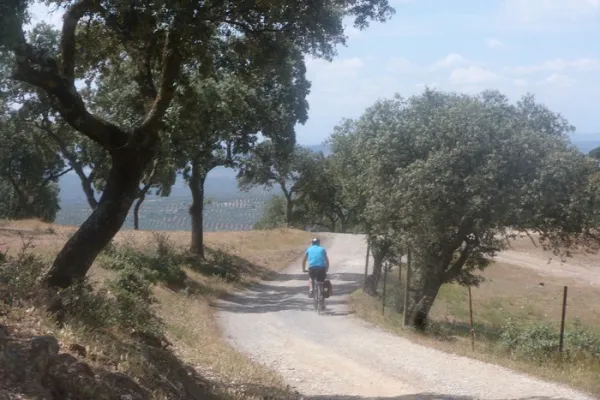
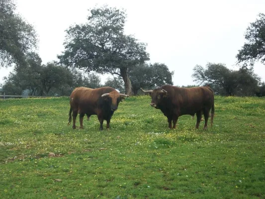
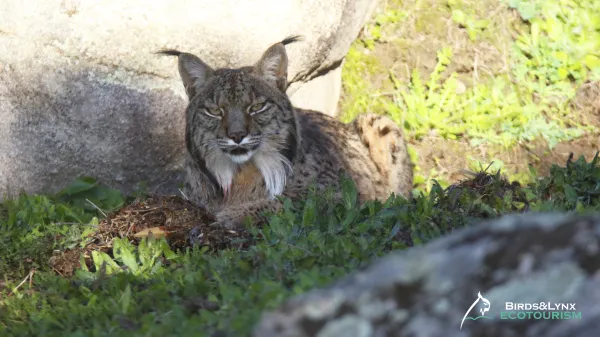
Here is a suggestive and easy road that travels a very representative space of Sierra Morena and this Natural Park. In it there are the dehesas on almost flat grounds and Mediterranean mountain stains, both populated by numerous animal species, including various birds, easily visible, or mammals, such as deer, boars, foxes or garduñas, difficult to see, but whose traces we will find with some ease. The Madrona and Quintana saws on the horizon, behind these plains, evoke the many legends that these depopulated lands have inspired throughout history.
Datos de la ruta
ROUTE NAME
Sendero El Junquillo
TRAIL TYPE
Track
DIFFICULTY
Baja
TOTAL DISTANCE (IN KILOMETERS) 11,4 km
-
Stretch of asphalt or concrete: --
-
Section of track, forest road, or dry watercourse: --
-
Trail section: --
-
Sections of livestock trails: --
HUSO 30S
ESTIMATED TRAVEL TIME
2 h 23 min
ROAD SURFACE TYPE
Track
ELEVATION CHANGE
54mm
54mm
DIFFICULTY. RATING ACCORDING TO THE MIDE METHOD
2
MEANS
Severity of the natural environment
1
ITINERARY
Route guidance
1
DISPLACEMENT
Difficulty moving about
2
EFFORT
Amount of effort required
ACCESSIBILITY TYPE
On foot
TIME OF YEAR
All year round
SIGNALING
No
MORE INFORMATION
TUNNELS
STEEL VIADUCTS
METAL WALKWAYS
WATER POINTS
PONTOONS
GUARD BOOTHS AND BARRIERS
SWITCHMAN'S CABINS
CYCLABILITY
RECREATIONAL OR SPORTS AREAS NEAR THE TRAIL
AID STATIONS
LINKS TO OTHER TRAILS
SHELTERS
RECOMMENDATIONS
It is recommended to wear safe drinking water and clothing and adequate footwear. Ensure the potability of the water from the sources. Be careful with the traffic. This path can be realized throughout the year. In summer, due to the special conditions of height, the insolation is very strong which, together with the lack of shadows, requires important solar protection. The months of October and November are especially recommended, coinciding with the deer's berrhea.
OTHER INFORMATION OF INTEREST (ARCHITECTURAL OR HISTORICAL-CULTURAL, GEOLOGICAL-ECOLOGICAL)
- Mediterranean mountain and oak and cork dehesas.
- Junquillo site.
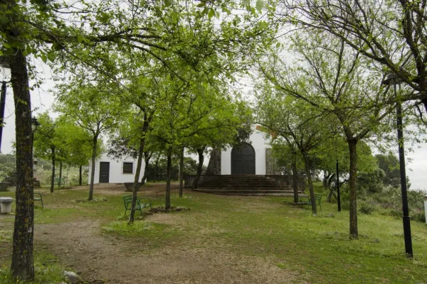
- Old morun oven.
- Sierra Quintana, with the peak Burcio del Pino (1,291 m.)
Technical Description
At the beginning of the path you can access the road A-6178 that comes from the shrine of the Virgin of the Head, 19 kilometres from it. We will find the path signs at a road crossing with a track that leaves to the left towards Valdelagrana (see on the map) in a place known as Junquillo. We'll start the road along the track to a geodetic vertex that we'll see very close.
We will do all the way along this track, almost always flanked by fences of farms dedicated to livestock and hunting, and would support the cultivation of cereals. The vegetation varies between real oak forests and more or less dense adhesives. Many other plants of the Mediterranean mountain find here their space, such as the wild pyruetane or pear, of bright and expired leaves, from which we can see some specimens shortly after we start the road. We will also pass in the initial section under a high-voltage line that comes from Puertollano to the Guadalquivir valley to the south, direction in which we will observe the prominent Peñón de Rosalejo (805 m.).
We will leave the Las Losas cortijo to our right, surrounded by a more clear space. Half a kilometre later we will find the so-called moruno oven, a small stone building located between oak trees on the left side of the track.
In just over a kilometer we will reach a crossroads of roads and firewalls. We will have already observed the combination of both, that there are ways through which we have clear margins to serve at the same time as firewalls. This helps to prevent and extinguish fires, which pose a major threat, especially to low-mountain cynegetic farms, which host populations of boar, deer, gamo or muflon, but also to other more clarified spaces, such as dehesas, which have a predominantly livestock use. The high biodiversity of both types of mountains is protected by these infrastructure, and also by complementary ones, such as the rafts that abound in both types of farms.
Almost a kilometer later, we will find another crossing of roads this time belonging to surrounding farms. We will continue forward and a few meters later we will turn south, moving back to a more wooded area.
It is a good place to stop and look at the mountain chains that rise on the horizon in the northwest. About ten kilometres away we will see the Quintana saw, whose summits draw the border of the provinces of Jaén and Ciudad Real, and also of the Natural Park. In it we can distinguish the Burcio from the Pino (1,291 m), the highest peak of the Andalusian Sierra Morena. Further west is the Madrona saw, where the highest levels of all Sierra Morena are reached. Between the two saws is the main step to the famous valley of Alcudia, in which Fuenhot is located, a citizen population that we can see later. Already in the last stretch of the path we pass through a new crossing near a large cordial. A mile later the path ends in a suggestive dehesa next to a Canadian step.