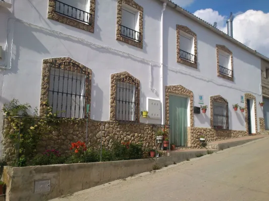
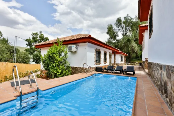
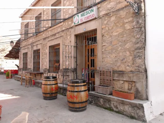
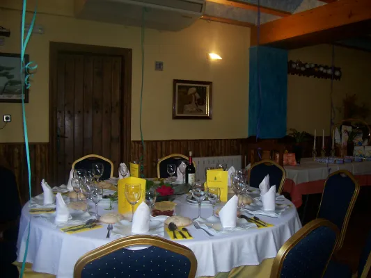
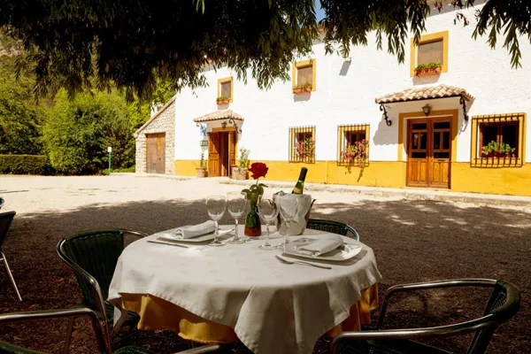
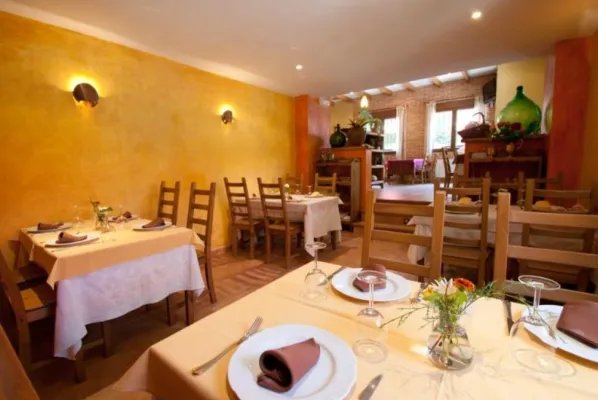
ALTERNATIVE GR 247.1 STAGE 1: Prado Maguillo and Forestrand House Refuge El Bodegón - Río Madera
Hiking, GR247 Forest Routes
Santiago Pontones



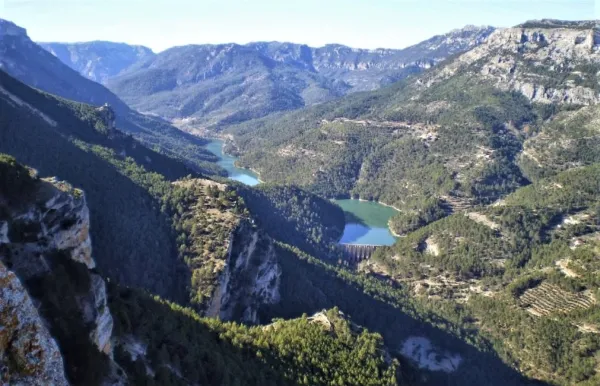
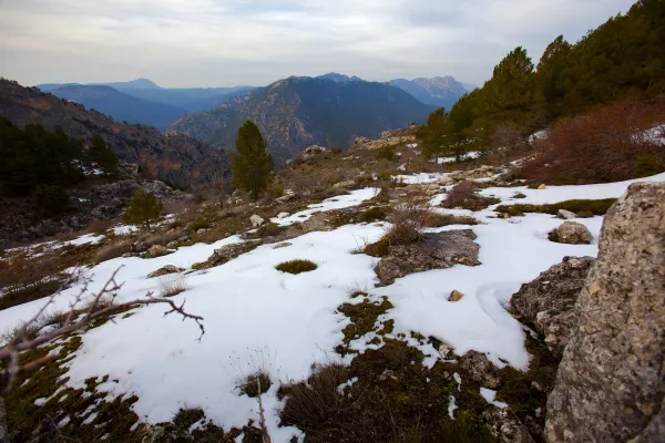
This circular route, which coincides in its first half with the GR-7 and the Safe Source Path (perfectly marked by the Environmental Council of the Junta de Andalucía), runs through the valley between the slopes of the Mariasnal and the rocky soils of Los Corralejos, passing through the villages of Fuente Segura and the birth of the Segura River, a spectacular crystalline poza of about 7 m diameter by 6 m depth, whose state is very variable according to the weather of the year.
The water runs through the mouth of a poza that forms part of the underground system that collects the precipitation that falls into the nearby altiplanicie of the fields of Hernán Perea.
ROUTE NAME
Ruta Nacimiento del Segura
TRAIL TYPE
Circular Route
DIFFICULTY
Baja
TOTAL DISTANCE (IN KILOMETERS) 9,6 km
Stretch of asphalt or concrete:
Section of track, forest road, or dry watercourse:
Trail section:
Sections of livestock trails:
HUSO 30S
ESTIMATED TRAVEL TIME
1 h 15 min
ROAD SURFACE TYPE
Road and trail
ELEVATION CHANGE
99mm
--
DIFFICULTY. RATING ACCORDING TO THE MIDE METHOD
--
MEANS
Severity of the natural environment
--
ITINERARY
Route guidance
--
DISPLACEMENT
Difficulty moving about
--
EFFORT
Amount of effort required
ACCESSIBILITY TYPE
TIME OF YEAR
SIGNALING
No
MORE INFORMATION
TUNNELS
STEEL VIADUCTS
METAL WALKWAYS
WATER POINTS
PONTOONS
GUARD BOOTHS AND BARRIERS
SWITCHMAN'S CABINS
CYCLABILITY
RECREATIONAL OR SPORTS AREAS NEAR THE TRAIL
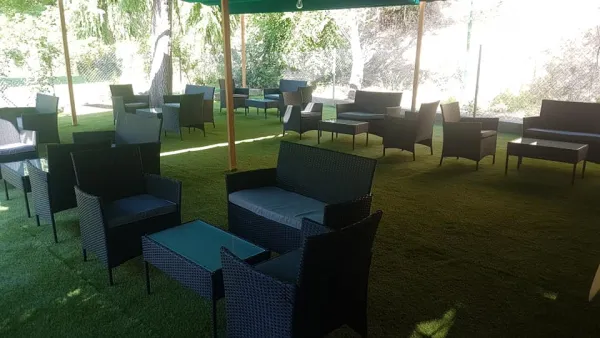
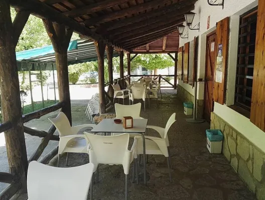
Pontones has various services and at the birth of the Segura there is a recreational area, with a fountain and chiringuito (open from Easter to autumn).
AID STATIONS
LINKS TO OTHER TRAILS
SHELTERS
RECOMMENDATIONS
Recommended epoch spring and especially autumn.
OTHER INFORMATION OF INTEREST (ARCHITECTURAL OR HISTORICAL-CULTURAL, GEOLOGICAL-ECOLOGICAL)