Reguchillo
Description
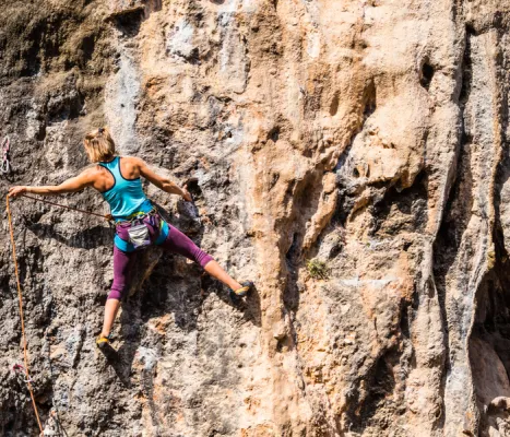
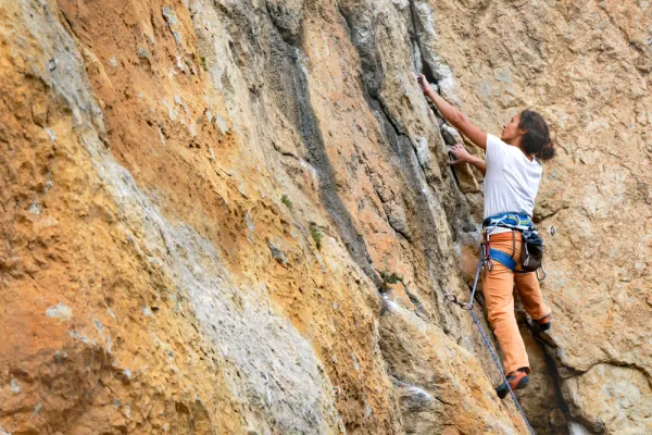
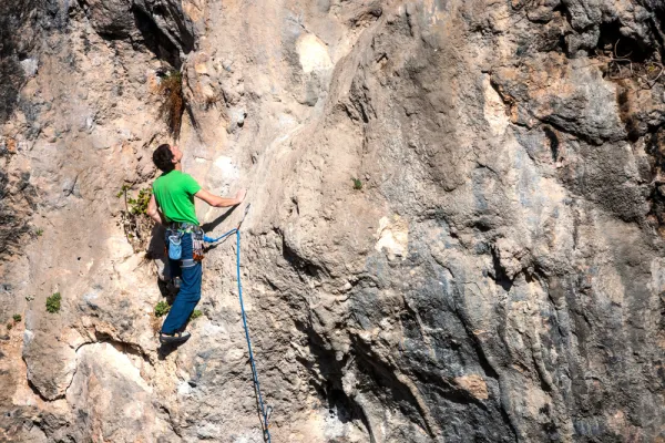
Potential of limestone orange, plumbed and of good quality, with some other jetty (depending on the sector), but above all, holes and leggings. This is an expansion area. On these walls, the sports scale is very technical. The average height is 16 meters. The maximum height is 30 meters.
Datos de la ruta
ROUTE NAME
Reguchillo
TRAIL TYPE
--
DIFFICULTY
--
TOTAL DISTANCE (IN KILOMETERS) --
-
Stretch of asphalt or concrete:
-
Section of track, forest road, or dry watercourse:
-
Trail section:
-
Sections of livestock trails:
HUSO 30S
30S x = 431503 and = 4179536
ESTIMATED TRAVEL TIME
ROAD SURFACE TYPE
Road
--
--
DIFFICULTY. RATING ACCORDING TO THE MIDE METHOD
--
MEANS
Severity of the natural environment
--
ITINERARY
Route guidance
--
DISPLACEMENT
Difficulty moving about
--
EFFORT
Amount of effort required
ACCESSIBILITY TYPE
TIME OF YEAR
SIGNALING
No
MORE INFORMATION
TUNNELS
STEEL VIADUCTS
METAL WALKWAYS
WATER POINTS
PONTOONS
GUARD BOOTHS AND BARRIERS
SWITCHMAN'S CABINS
CYCLABILITY
RECREATIONAL OR SPORTS AREAS NEAR THE TRAIL
AID STATIONS
LINKS TO OTHER TRAILS
SHELTERS
RECOMMENDATIONS
OTHER INFORMATION OF INTEREST (ARCHITECTURAL OR HISTORICAL-CULTURAL, GEOLOGICAL-ECOLOGICAL)
Number of routes:5
You're up to V:5%
Votes from V + to 6c +:25%
Vies from 7a to 7c +:70%
Eight-way:0%
Best time:From autumn to spring
Technical Description
Where to drink. -There is a small water source in front of the sector of La Curvilla, although if it is somewhat scrupulous, it is preferable to take it.
Information and books. -Revista Escalar Nº 23
Notes and warnings. -Parking before entering the lane, anywhere on the cut road. There are few places where it does not interfere with the passage of other vehicles.
How to get there. -From Jaén capital we follow the road of Los Villares (C-3221) and on the seven kilometer we take the detour to the residential area of Jabalcuz. It continues to reach the Arroyo de Recuchillo ravine, where a sign warns that the road is cut and, just on the left on the cemented road that runs parallel to the walls, is the access.