DETOUR 02: Forestrand House Refuge del Campillo - Summit ofl Yelmo
Hiking, GR247 Forest Routes
Segura de la Sierra



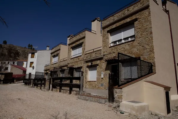
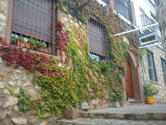
It is one of the most charming villages for its location, very close to the remains of the small castle of Espinareda, of which it is named. narrow streets, white walls and small roofs extended on the hillside. A shaded ravine makes it a lookout over the rest of the valley.
Is part of

ROUTE NAME
La Espinareda
TRAIL TYPE
--
DIFFICULTY
--
TOTAL DISTANCE (IN KILOMETERS) --
Stretch of asphalt or concrete:
Section of track, forest road, or dry watercourse:
Trail section:
Sections of livestock trails:
HUSO 30S
ESTIMATED TRAVEL TIME
ROAD SURFACE TYPE
Forest track
--
--
DIFFICULTY. RATING ACCORDING TO THE MIDE METHOD
--
MEANS
Severity of the natural environment
--
ITINERARY
Route guidance
--
DISPLACEMENT
Difficulty moving about
--
EFFORT
Amount of effort required
ACCESSIBILITY TYPE
TIME OF YEAR
SIGNALING
Sí
MORE INFORMATION
TUNNELS
STEEL VIADUCTS
METAL WALKWAYS
WATER POINTS
PONTOONS
GUARD BOOTHS AND BARRIERS
SWITCHMAN'S CABINS
CYCLABILITY
RECREATIONAL OR SPORTS AREAS NEAR THE TRAIL
AID STATIONS
LINKS TO OTHER TRAILS
SHELTERS
RECOMMENDATIONS
OTHER INFORMATION OF INTEREST (ARCHITECTURAL OR HISTORICAL-CULTURAL, GEOLOGICAL-ECOLOGICAL)
Technical Description
The ruins of the castle are impressive because of its elevated situation and the remains of houses and rooms made in tapial that are around it. From above you can observe much of the valley and see, right in front, the castle of Segura and a little below the Arab towers of Santa Catalina and Orcera. We suggest that you walk through the forest track that links this village with that of El Tobazo, by forest track with very little level marked for hiking like GR-146.