This municipality is part of:
Mancha Real
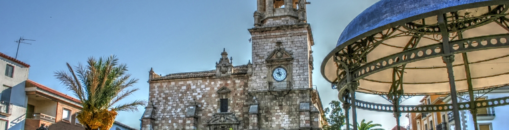
The town of Mancha Real is situated just 19 km east of Jaén, in the foothills of the Sierra Mágina and at the foot of the Peña del Águila.
The municipal area covers a large strip of land stretching from the foothill of the Sierra Mágina in the south to the Guadalquivir river in the north.
The south of the area is mainly forestland which gives way to olive fields as it descends towards the Guadalquivir river. It is one of the most industrialised towns in the province.
Information
Data of interest
Tourist area: Sierra Mágina
Distance to the capital (km): 19
Altitude above sea level (m): 770
Extension (Km2): 97
Number of Inhabitants: 11264
People: Manchegos or Mancharealeños
Postal code: 23100
The village of Sotogordo also forms part of the township of Mancha Real.
As well as having a great olive-growing tradition, it’s one of the province’s key industrial centres, with important businesses in the wood sector, computer industry and the manufacture of farming tools and machinery.
Just 3km away, in the southwest of the township, along with the Sierra Mágina Natural Park, is the Peña del Águila (Eagle’s Rock), a site of great environmental interest.
The town’s architectural heritage includes the Iglesia Parroquial de San Juan Evangelista (Parochial Church of Saint John the Evangelist) and the Antiguo Convento de los Carmelitas Descalzos (Old Convent of the Barefoot Carmelites), and located in the wider area are the Torre del Risquillo (tower) and the Castillo de Riez (Castle of Riez).
Source of information
Ayuntamiento de Mancha Real
Imágenes
Contenido Audiovisual
? ![]()