This municipality is part of:
Arjonilla
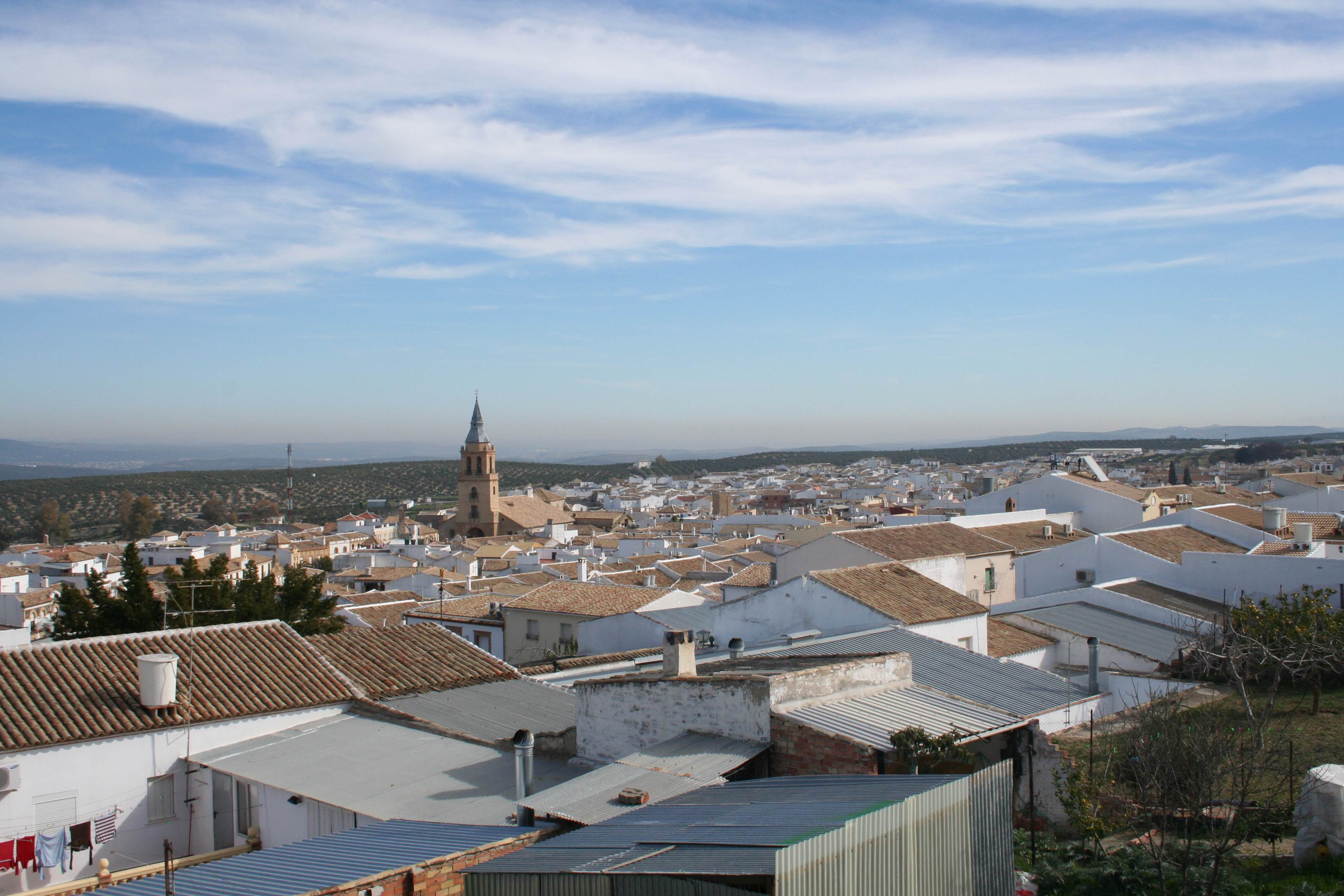
Arjonilla is located in the district of Campiña, in the west of the province of Jaén. The landscape is generally low but undulating, with barely any significant hills. The highest point is the Cerro de los Angeles, which reaches an altitude of almost 300 m. Arjonilla borders the areas of Marmolejo and Andújar to the north and Arjona to the east and west.
Information
Data of interest
Tourist area: Sierra Morena/Sierras de Andújar y Despeñaperros
Distance to the capital (km) 53
Altitude above sea level (m) 348
Extensión (Km2): 42
No. of Inhabitants 3876
Demonym Arjonilleros
Postal Code 23750
Tourist information
Tourist Office
Avd. Andalucía, 13.
oficinaturismo@ayuntamientodearjonilla.es
953520410 – 619432512
Arjonilla is a predominantly agricultural community and the vast majority of the land (80%) dedicated to olive farming. A particular highlight of the town’s architectural heritage is the Iglesia de la Encarnación (Church of the Incarnation), whose construction began in the 16th century and is rendered in the late gothic style. Key features of the building are the renaissance doorway, with a triumphal arch, and the plateresque doorway which provides access to the vestry.
Also worth a visit is the castle of Trovador Macias, a 13th-century Christian work which has been recently restored and is included in the “Route of Castles and Battlegrounds”.
Other highlights include the Casa del Juzgado (Courthouse), with its mannerist façade dating from the year 1617, and the chapels of Jesús (17th century), la Virgen de la Cabeza and San Roque.
Imágenes
Contenido Audiovisual
? ![]()