


Ruta Circular Peña del Olivar
Northern area of the Natural Park, municipality of Siles.

NAME OF THE TRAIL
Peña del Olivar Circular Route
TYPE OF TRAIL
Circular Route
Difficulty
Half
START POINT
From Siles: on the JF-7012 road, signposted as “Camino de las Acebeas”.
Peña del Olivar Recreational Area, at Km 2 of the aforementioned road, next to the ceramic panel.
TOTAL DISTANCE (IN KILOMETERS)
1003
Type of firm
From Siles: on the JF-7012 road, signposted as “Camino de las Acebeas”. Peña del Olivar Recreational Area, at Km 2 of the aforementioned road, next to the ceramic panel....
SLOPE
4480 m.
DIFFICULTY. ASSESSMENT ACCORDING TO METHOD MEASURE
0
MEDIO.
Severity of the natural environment
0
Itinerary
Orientation in the itinerary
0
Displacement
Difficulty moving
0
EFFORT.
Amount of effort required
SIGNALING
Sí
MUNICIPAL TERMS BY WHICH IT RUNS
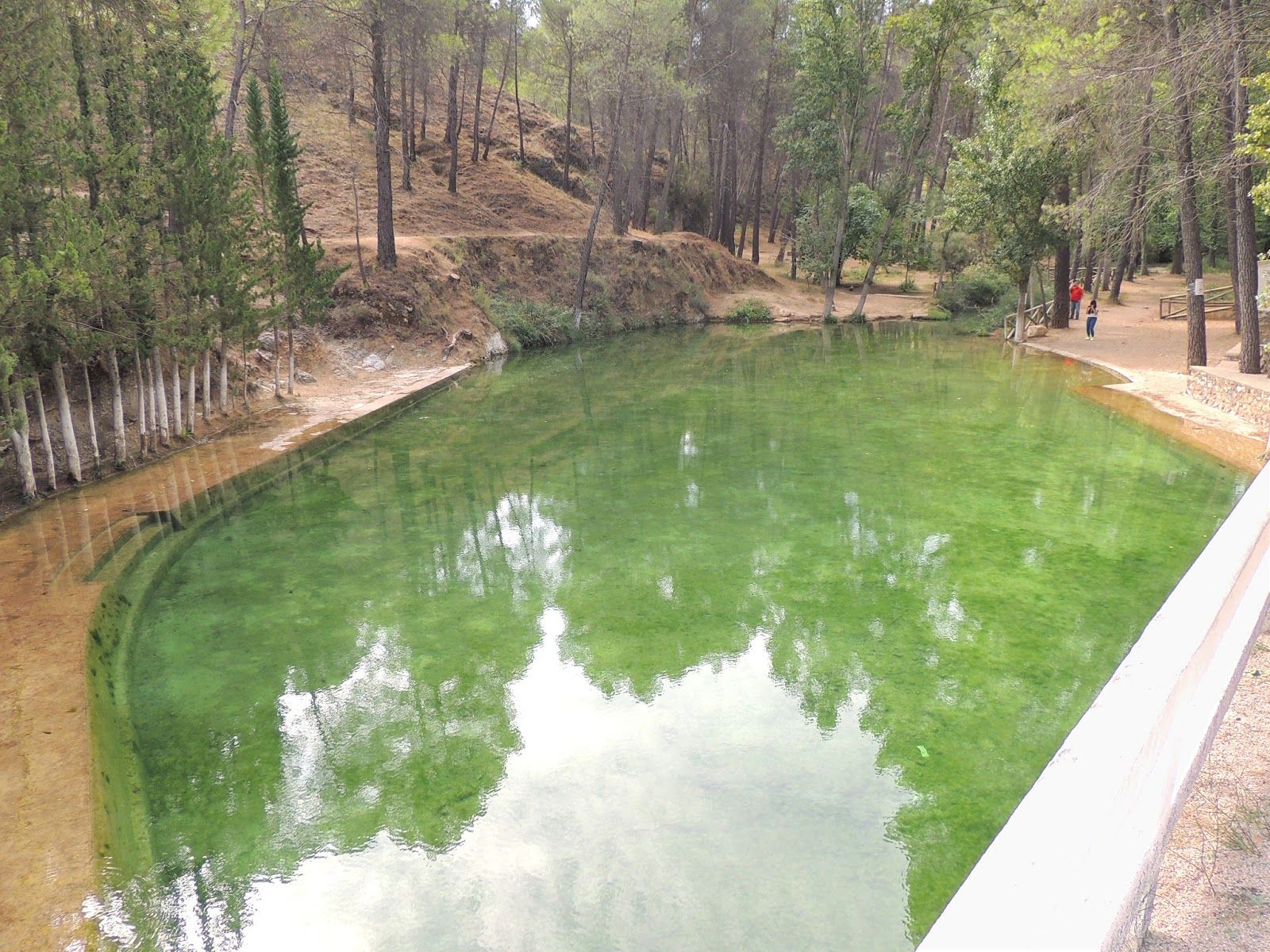
Siles Sierra de SeguraRECREATIONAL OR SPORTS AREAS NEAR THE TRAIL
In the recreational area of La Peña del Olivardis, there is a fountain, tables, a bathing area and a kiosk that is usually open during the holidays. There is also water in the Fuente del Noguerón (Km1),
Follow us #JaénParaísoInterior


