


Mancha Real-Cumbre de Almadén-Torres
Routes
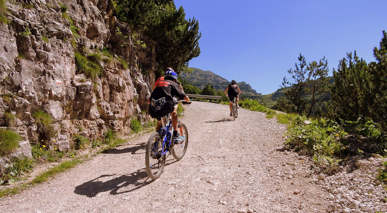
For lovers of mountain biking in its purest form. Large slopes, long ascents, paths of changing floors ..., with several hours of pedaling and with little presence of water. The first ten kilometers are outside the natural park. The rest of the route passes through the protected natural area.
Program
The tour begins in Mancha Real and ends in the neighboring town of Torres; therefore a route that facilitates leaving a car in each town to organize the return after the route. If you are going to complete the route, you will need water, some food to recharge your batteries and a warm garment for the high mountain area. In Mancha Real you will only have to ask for the ascent to the Almadén peak or to the television repeater - at the top there is a set of telephone and telecommunications antennas. Any neighbor will know how to indicate that you have to go to the south of the town, anyone can indicate the start of the route, south of the town, next to the Fuente de la Pila and the municipal swimming pool. There, and in permanent ascent through repopulated pine forests, go up the lane from the repeater through which you will pedal for 10 kms of ascent next to the Sierra de la Peña del Águila. The ascent will take you from 850 m. from Mancha Real to the plains of Bercho and Peña Blanca at 1400 m. over the Giennense countryside, where the landscape of mountain plains is appreciated, an area that in the Middle Ages was described in La Crónica del Condestable and the Book of the Hunting by Alfonso X, as “... an important place for hunting , rich in wild boars, wolves, deer, bears and closed vegetation ”. Two kilometers of plain and we are at the detour for the great climb, the step towards the high mountain: the summit of Almadén pedaling along the track. There are 6 and a half kilometers of ramps and sweats, but the effort is worth it. The summit, if the day is clear, is a privileged viewpoint in Andalusia. To the north extends the entire great depression of the Guadalquivir, closed by the horizon of Sierra Morena. The east shows you the other peaks of more than 2000 meters of the Sierra Mágina massif. To the south you will see the horizon of the Sierra Nevada National Park in Granada. The descent of the same 6.5 kms. (Watch out for curves and speed!) Takes us back to the previous junction. From here a new section of 4 kms. through cherry plantations it accompanies us to Navaparís, one of the largest springs in the area. 2.5 more kilometers and you are on the local road -asphalted- that will take you on a permanent descent (another 2.5 km. More) between orchards, cherry tree fields and small farmhouses to the Torres river, and the town of the same name.
34 kms. of lanes and mountain tracks, in addition to the end by a local paved road with occasional traffic.
Follow us #JaénParaísoInterior


