


Colada de Valdepeñas
Routes
The excursion leaves from Charilla, a village in Alcalá la Real, and lasts approximately 2 and a half hours. In Plaza Real, take Calle de la Fuente that leads to the outskirts of town, where it becomes a dirt track. After about 5 minutes of walking, another lane appears on the left. From this point on, the route follows the route of a cattle track at all times, the old Colada de Valdepeñas.
Program
Once you have reached a hill, the panorama opens and an era serves as an unconventional viewpoint. Shortly after, and already practically horizontal, the lane draws a bend next to the trough of a semi-dilapidated farmhouse.
After the ruins, the cattle track deviates onto a less obvious path that goes up a small open ravine. When you reach the highest area, you have to turn off again, now to the left and along the path that borders the olive grove. A short time later it will merge into a lane that will lead to a crossroads.
The path to the left forks immediately. The left branch will be where you return and the other descends towards the Cortijo de Nogueruelas. After crossing the buildings, it goes back up to a hill where another farmhouse is located.
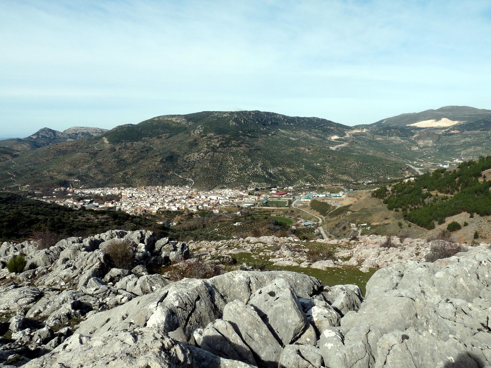
At this point you must go through the access gate to a cherry plantation, and leave two lanes on the left. Shortly before the olive grove, a path begins that goes up to the hill, just at the foot of Cerro La Martina and Rompezapatos where the route ends.
To return, you go down the same path to the first farmhouse, this time taking the right lane that runs halfway up the hillside.
Follow us #JaénParaísoInterior


